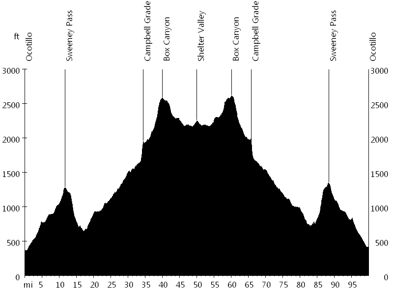
100 miles with 4,300 feet of climbing
Route Profile
Stagecoach Century • Climbs
Cat. 4: Mile 34 and 85
Stagecoach Century • Description
The Stagecoach Century is a scenic desert century. The out-and-back course starts in Ocotillo and follows the historic Great Southern Overland Stage Route of 1849 to Scissors Crossing, passing through Anza-Borrego Desert State Park. The first half of the course ascends gradually from sea level to above 2,000 feet, which makes for a fast second half.
Stagecoach Century • Interactive Map
Stagecoach Century • Pictures
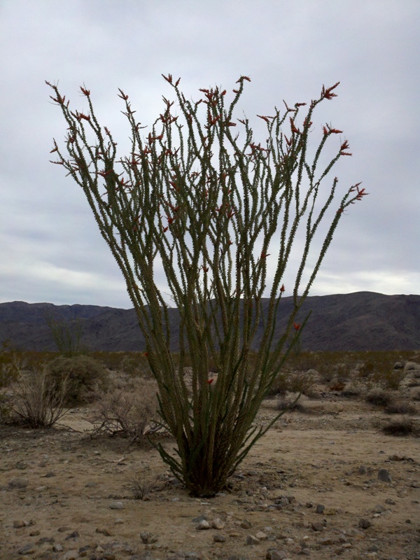
Ocotillo
By: Bernd Straehle
See Also: Gran Fondos & Centuries