100 miles with 9,200 feet of climbing
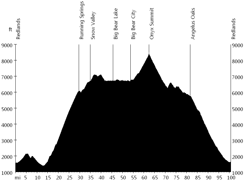
Route Profile
Ride around the Bear • Climbs
Ride around the Bear • Description
The Ride around the Bear is a great mountain-rural century with lots of climbing.
The course starts in Redlands and after a warm up enters San Bernardino National Forest. The major climb of the day leads from Highland up to Running Springs, Snow Valley, and Big Bear Lake. The ride then follows the shoreline before climbing Onyx Summit, at 8,443 feet the highest point. Finally the route descends via Angelus Oaks back into Redlands.
Ride around the Bear • Interactive Map
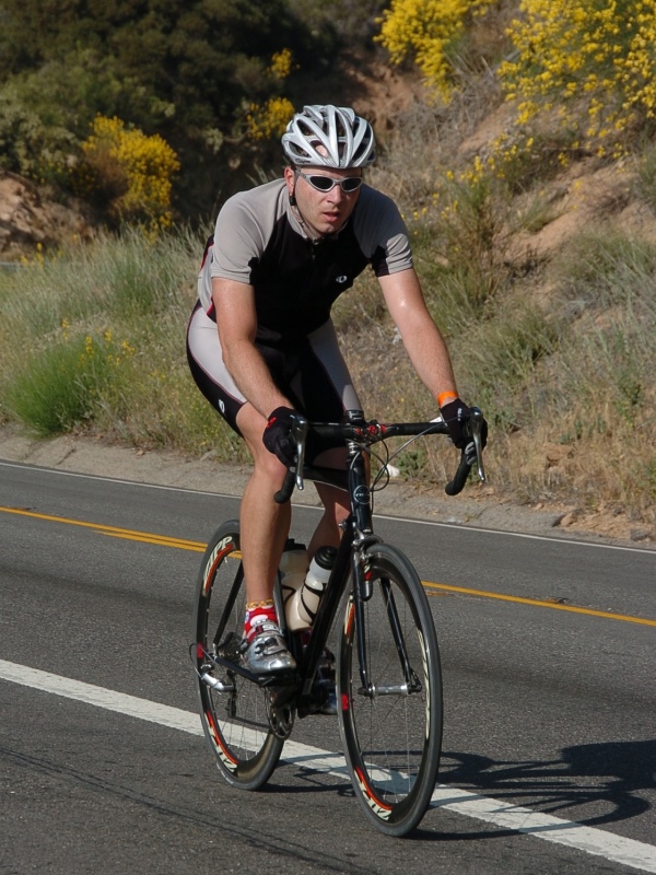
Ride around the Bear • Pictures
Ride around the Bear
Photo credit: Ride around the Bear
By: Bernd Straehle
See Also: Gran Fondos & Centuries