198 miles with 8,000 feet of climbing
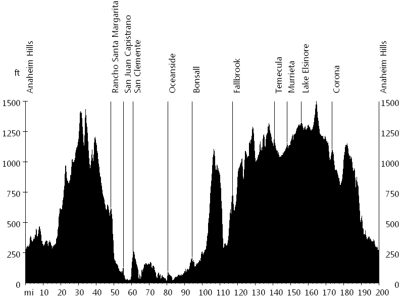
Route Profile
Butterfield Double Century • Climbs
Butterfield Double Century • Description
The Butterfield Double Century, named after the historic Butterfield Overland Stage Route of 1857, is the first double of the season. The urban to semi-rural ride circumnavigates the Santa Ana Mountains in counter-clockwise direction.
The route starts in Anaheim Hills and initially leads south to Oceanside, passing through Santiago Canyon, Live Oak Canyon, and Trabuco Canyon, as well as the cities of Rancho Santa Margarita, San Juan Capistrano, and San Clemente.
Then the route leads inland, following the San Luis Rey River bike path to Bonsall and continuing to Freeway 15. At about the halfway point, the route leads back north, following Old Highway 395 to Corona, visiting Fallbrook, Temecula, Murrieta, Wildomar, and Lake Elsinore. Finally the route passes through Temescal Canyon on the way back to Anaheim Hills.
Butterfield Double Century • Interactive Map
Butterfield Double Century • Pictures
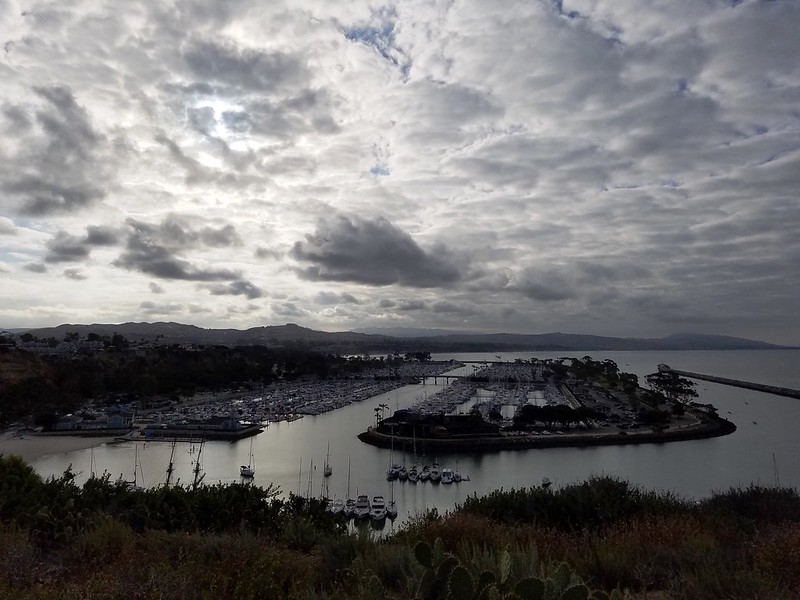
Dana Point
By: Bernd Straehle