104 miles with 2,900 feet of climbing

Route Profile
Dana Point - Torrey Pines - Dana Point • Climbs
Cat. 4: Mile 51
Dana Point - Torrey Pines - Dana Point • Description
This out-and-back ride starts in Dana Point Harbor and leads south along the Pacific Ocean. It passes through Camp Pendleton Marine Corps Base and visits the beach cities on the way to La Jolla. The halfway point is at the top of Torrey Pines, which can be climbed via the highway or state reserve.
Dana Point - Torrey Pines - Dana Point • Interactive Map
Dana Point - Torrey Pines - Dana Point • Pictures
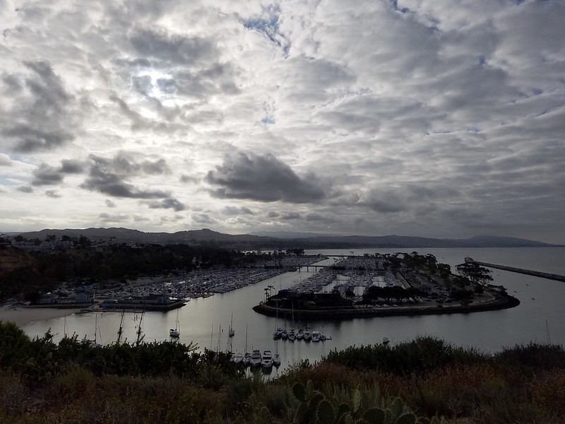
Dana Point
By: Bernd Straehle
See Also: Gran Fondos & Centuries