106 miles with 13,800 feet of climbing

Route Profile
Mount Baldy and Islip Saddle • Climbs
Mount Baldy and Islip Saddle • Description
This ride is a variation of the Mount Baldy Notch and Crystal Lake multi-surface century and of the Dawson Saddle and Mount Baldy super century.
Three routes lead up Mount Baldy, including Mount Baldy Road, Glendora Mountain Road/Glendora Ridge Road/Mount Baldy Road, and San Gabriel Canyon Road/East Fork Road/Glendora Mountain Road/Glendora Ridge Road/Mount Baldy Road. Mount Baldy Road and San Gabriel Canyon Road have some traffic, so Glendora Mountain Road (GMR) is often the preferred option.
On the descent, East Fork Road leads to the bottom of the second major climb. San Gabriel Canyon Road (Highway 39) leads up to Islip Saddle. After the Crystal Lake turnoff, Highway 39 is closed due to landslides, but it is in rideable condition (with a few short gravel sections).
Mount Baldy and Islip Saddle • Interactive Map
Mount Baldy and Islip Saddle • Pictures
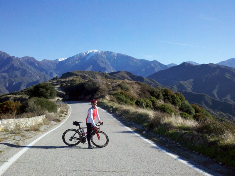
Glendora Ridge Road
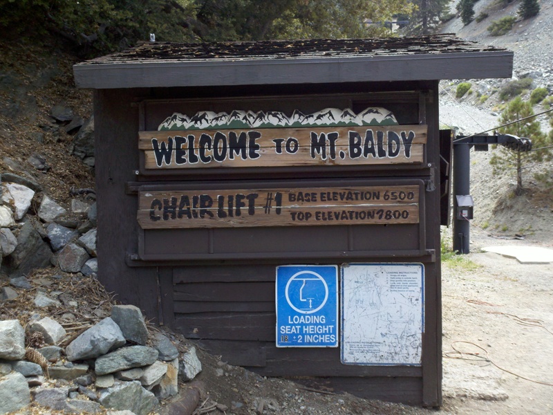
Mount Baldy Lifts

Glendora Mountain Road
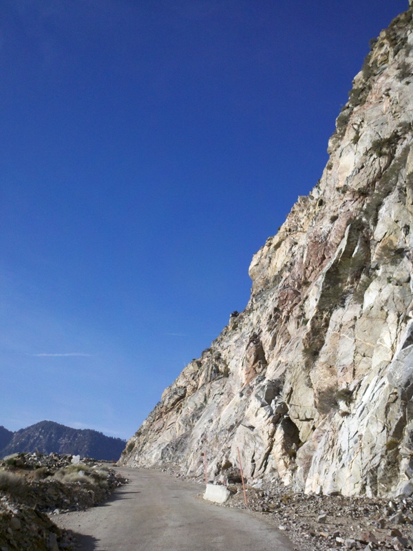
San Gabriel Canyon Road
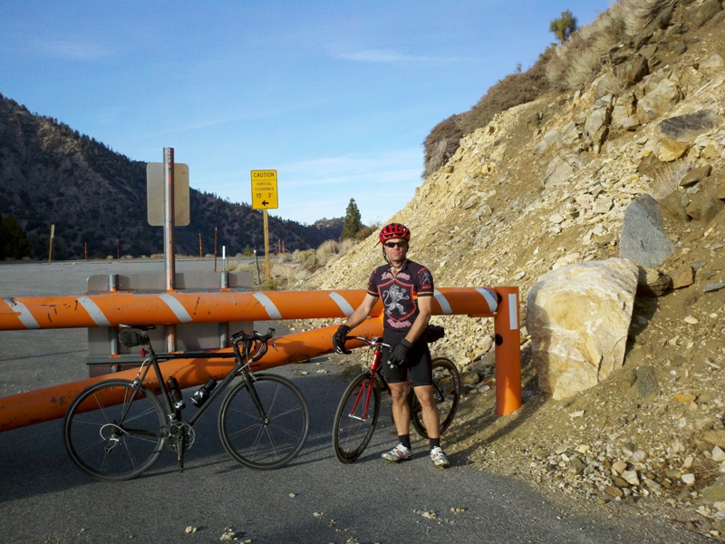
Islip Saddle
By: Bernd Straehle
See Also: Gran Fondos & Centuries