110 miles with 6,900 feet of climbing
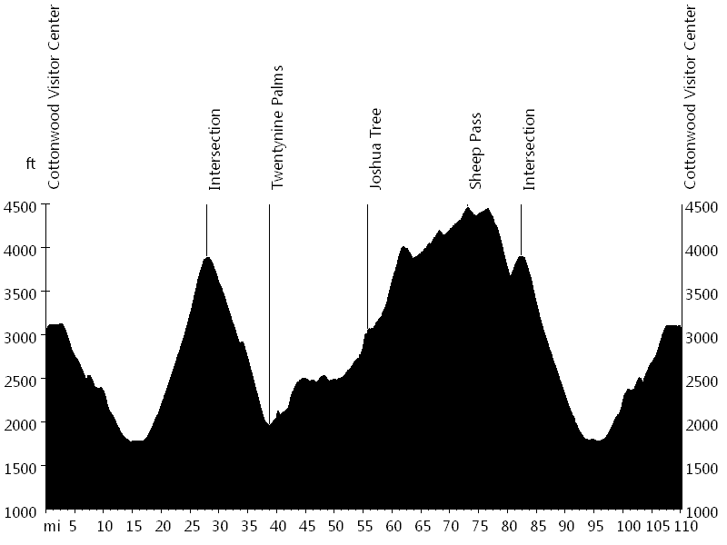
Route Profile
Joshua Tree National Park • Climbs
Joshua Tree National Park • Description
This ride starts at Cottonwood Visitor Center, near the south entrance of Joshua Tree National Park. The route follows Pinto Basin Road/El Dorado Mine Road/National Park Road/Utah Trail to the north entrance of the park.
The section between the towns of Twentynine Palms and Joshua Tree continues outside the park on Twentynine Palms Highway.
The ride then re-enters Joshua Tree National Park through the west entrance and follows Park Boulevard/Quail Springs Road/National Park Drive/Loop Road to the intersection and back to Cottonwood Visitor Center.
An optional five-mile out-and-back climb off Loop Road leads to Keys View, which offers views all the way to Salton Sea and beyond.
Joshua Tree National Park • Interactive Map
Joshua Tree National Park • Pictures
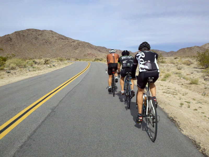
Joshua Tree National Park
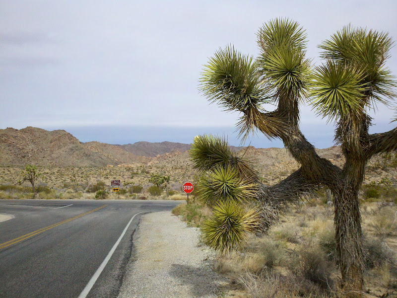
Yuccas
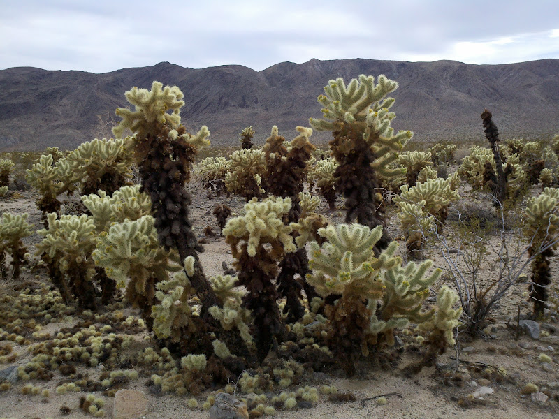
Chollas
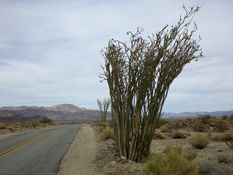
Ocotillos
By: Bernd Straehle
See Also: Gran Fondos & Centuries