95 miles with 2,900 feet of climbing
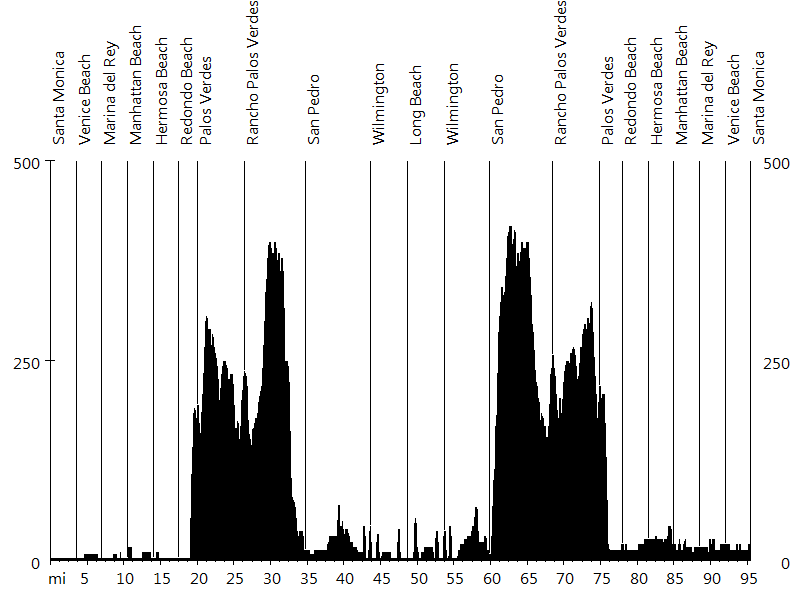
Route Profile
Santa Monica - Long Beach - Santa Monica • Climbs
Cat. 4: Mile 19, 27, and 60
Santa Monica - Long Beach - Santa Monica • Description
This ride starts in Santa Monica and leads south along the coastline, to Long Beach and back. Except for some hills on the Palos Verdes peninsula, the route is flat.
Initially the ride follows South Bay Bike Trail for about 20 miles. After Venice Beach, it briefly leads inland around Marina Del Rey. Then it continues along the beach, passing El Segundo (LAX airport), Manhattan Beach, Hermosa Beach (pier), and Redondo Beach (pier).
In Palos Verdes the route leaves the bike trail and follows the road around the peninsula, initially climbing, then rolling, and finally descending into San Pedro.
Gaffey Street, Anaheim Street, and the Los Angeles River Bike Trail lead around the Port of Los Angeles and into Long Beach. Queens Way crosses over to the Queen Mary, the halfway point. The ride back follows the same course.
Santa Monica - Long Beach - Santa Monica • Interactive Map
Santa Monica - Long Beach - Santa Monica • Pictures
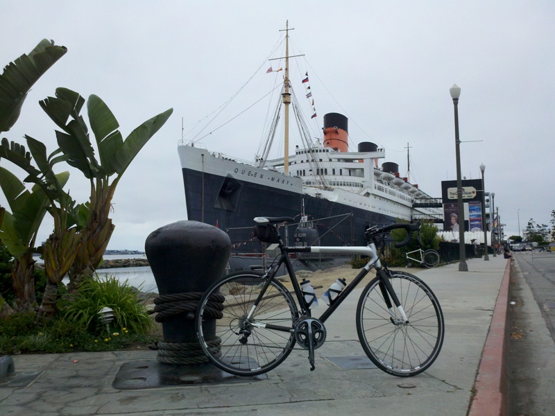
Long Beach
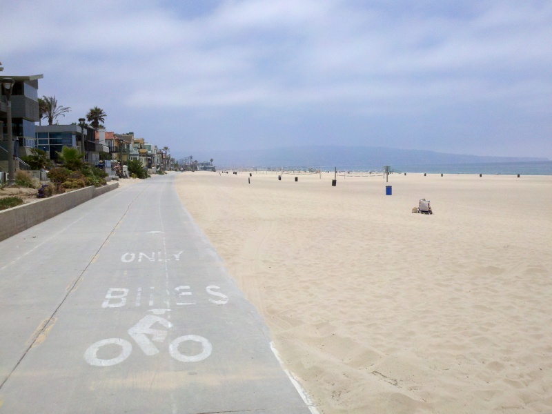
South Bay Bike Trail
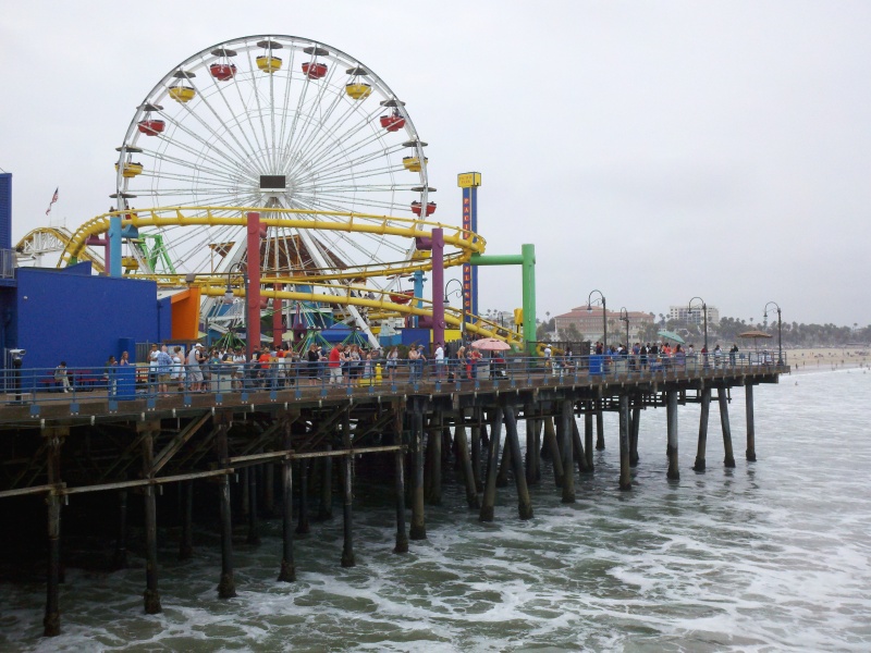
Santa Monica
By: Bernd Straehle
See Also: Gran Fondos & Centuries