Summit elevation: 14,636 feet / 4,461 meters
9 miles with 4,500 feet of climbing
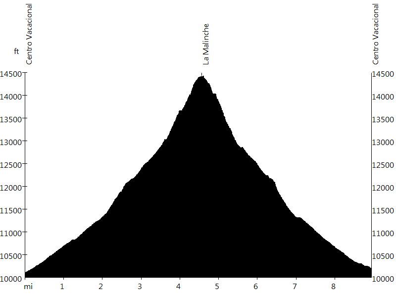
Route Profile
La Malinche • Description
At 14,636 feet, La Malinche, also known as Matlalcueitl, is the fifth highest of the Mexican volcanoes (after Pico de Orizaba, Popocatépetl, Iztaccíhuatl, and Nevado de Toluca). The summit is on the borderline of Puebla and Tlaxcala.
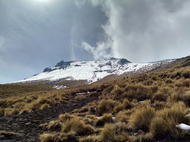
The ascent starts at Centro Vacacional Malintzi and leads through a forest, cutting short the switchbacks of a closed road. Then steep grass and sand slopes lead up to a ridge, where the terrain becomes more rocky. The ascent follows the ridge to the caldera rim, from where it is a short distance to the summit boulder.
La Malinche • Interactive Map
La Malinche • Pictures

Approach
La Malinche

North Ridge

Summit Boulder
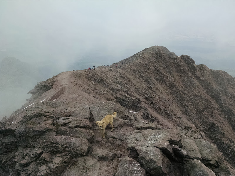
Caldera Rim

Caldera

Summit #1

Summit #2
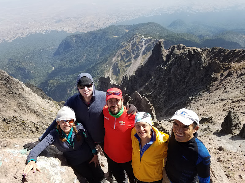
Summit #3
By: Bernd Straehle
See Also: Climbing & Mountaineering