Summit elevation: 20,549 feet / 6,263 meters
4 miles with 3,000 feet of climbing
Class 3 (40 degree ice/snow)
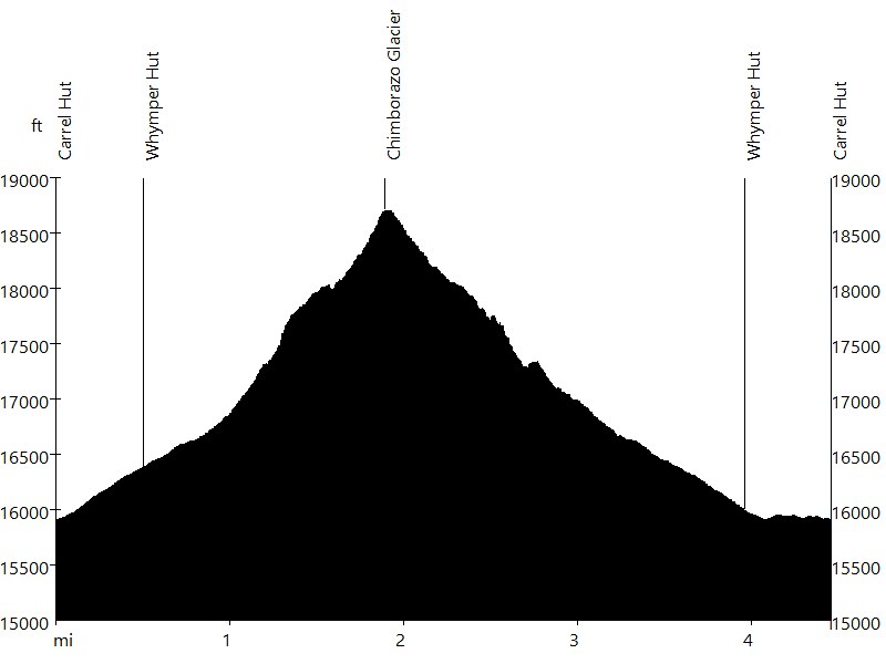
Route Profile
Chimborazo • Description
The 20,564-foot dormant Chimborazo volcano is the highest mountain in Ecuador, higher than any mountain in North America (including Denali), and it is featured on the Ecuadorian flag. Due to the equatorial bulge, Chimborazo is the farthest point on the Earth's surface from its center (farther than Mount Everest).
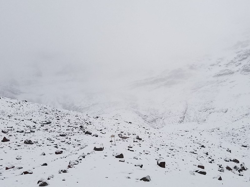
The normal route leads up the western ridge. It starts at Carrel Hut (15,900 ft), passes Whymper Hut (16,400 ft), and climbs up to El Castillo (17,700 ft). This section can be dangerous due to rock fall. After El Castillo, the route relentlessly leads up the Chimborazo glacier. This section can be dangerous due to avalanches. The Ventemilla summit has an elevation of 20,440 ft, the Whymper summit has an elevation of 20,549 ft, both well over 6,000 m.
Chimborazo • Interactive Map
Chimborazo • Pictures
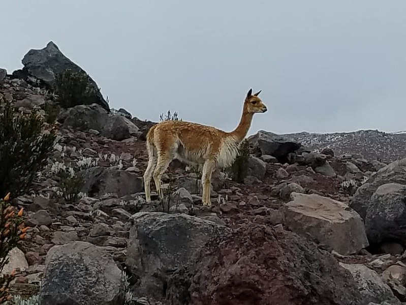
Vicuña, Mix of Alpaca and Llama
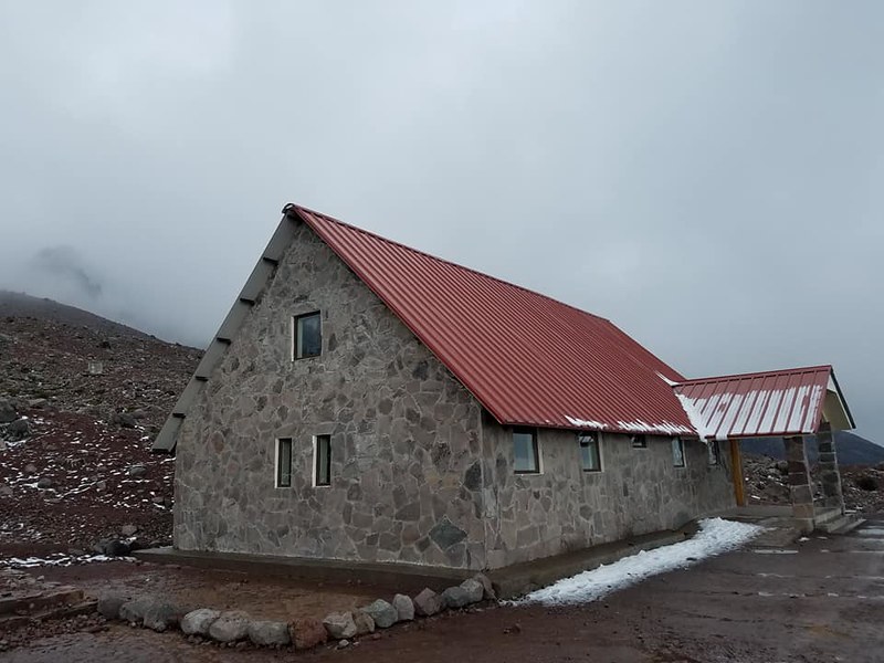
Carrel Hut
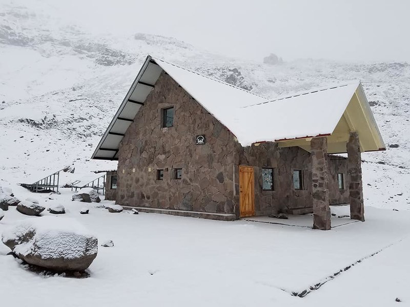
Whymper Hut
Chimborazo
By: Bernd Straehle
See Also: Climbing & Mountaineering