Summit elevation: 14,032 feet
25 miles with 5,300 feet of climbing
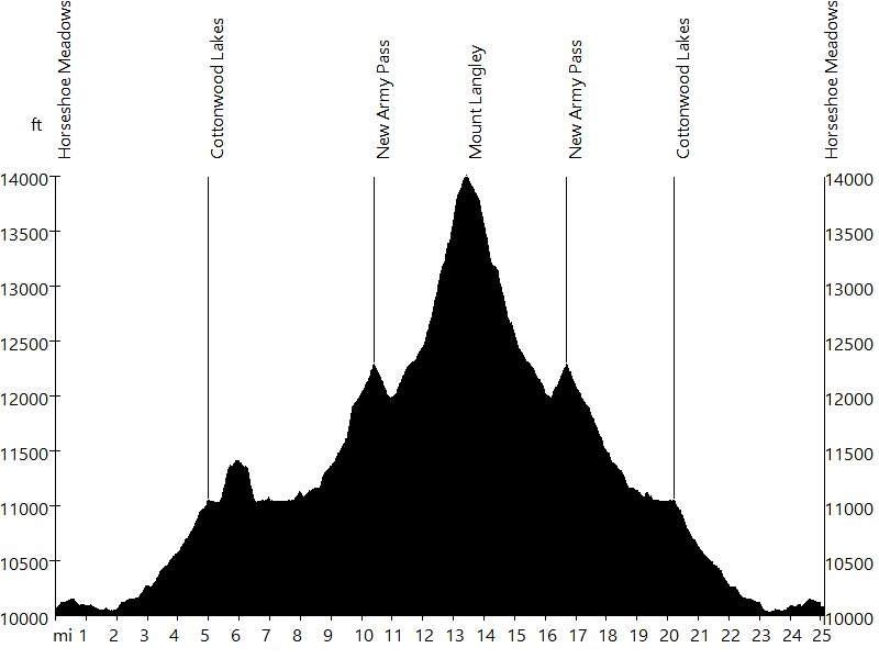
Route Profile
Mount Langley • Description
At 14,032 feet, Mount Langley is the southernmost of the California fourteeners. The eastern approach via Cottonwood Lakes is the most popular route.
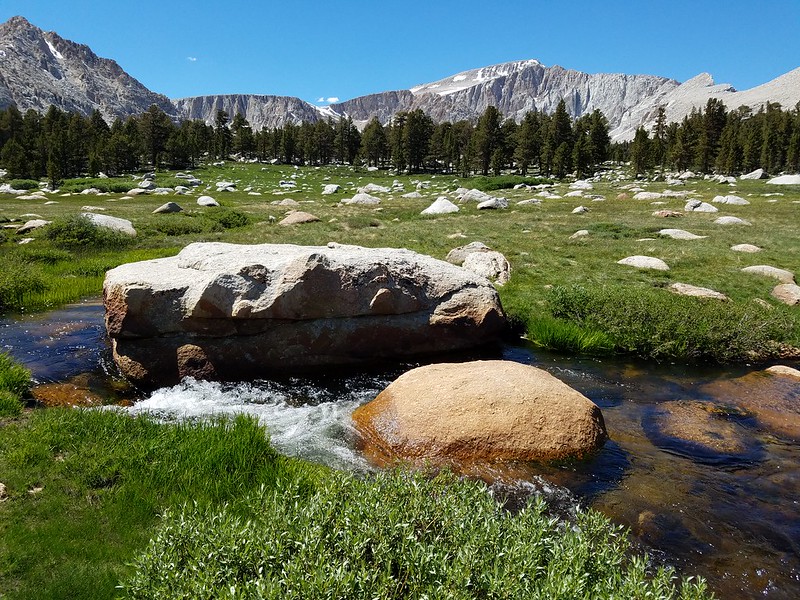
The trailhead is at Horseshow Meadows (10,034 ft). The trail follows Cottonwood Creek up to Cottonwood Lakes. Then it passes the lakes to the south and leads up New Army Pass. From here it leads down to Old Army Pass. An alternate route leads up Old Army Pass directly. Then the trail continues to leads up Mount Langley. After a short steep step to the summit plateau, the route follows large cairns to the summit. The summit offers great views, including those of Mount Whitney, Mount Muir, and Mount Russell.
A permit is required.
Mount Langley • Interactive Map
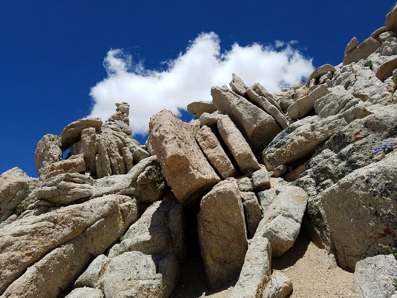
Mount Langley • Pictures
Mount Langley
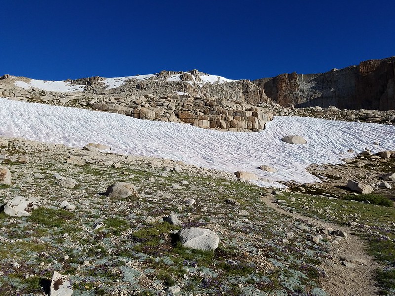
New Army Pass

Mount Langley

View from Mount Langley
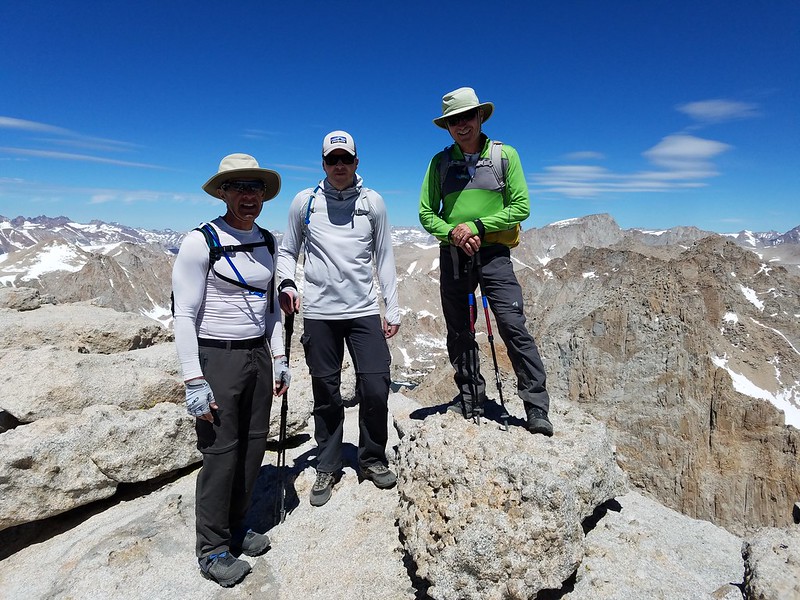
Mount Langley

View from Mount Langley
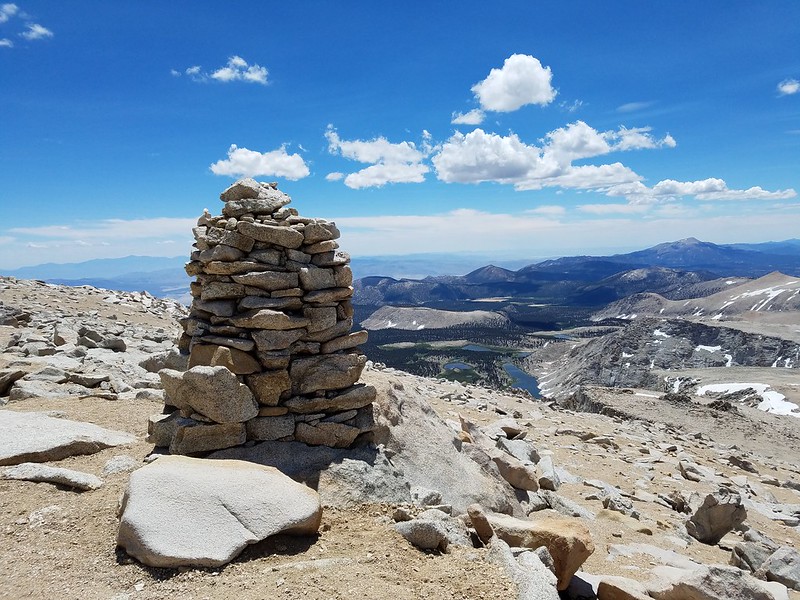
Cairn
Mount Langley

New Army Pass

Cottonwood Lakes
By: Bernd Straehle
See Also: Climbing & Mountaineering